 |
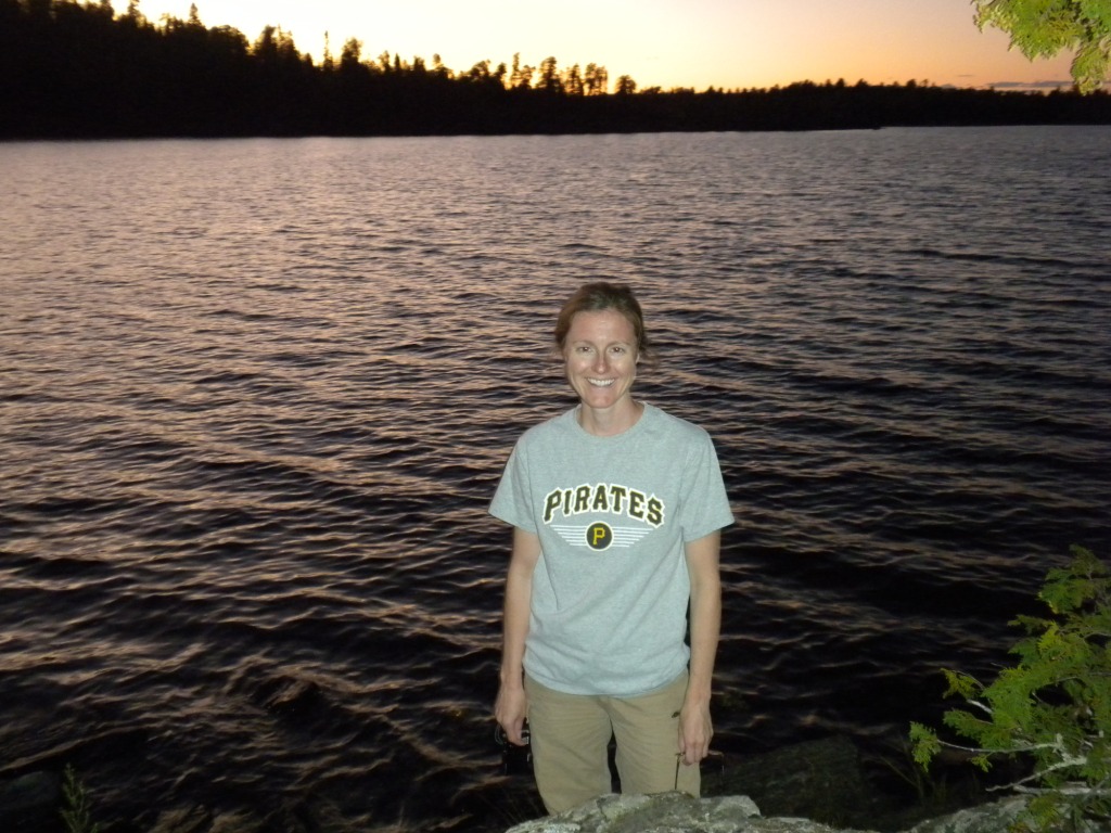
Sunday, August 28, 2011: Straddling the international border
between Ontario (left) and Minnesota (right) on Lake Saganaga |
Cristin and I made a whirlwind 3 day trip to
Quetico Provincial Park in Ontario the last weekend of August. Quetico is the Canadian equivalent of the Boundary Water Canoe Area Wilderness (BWCAW) in Minnesota, a pristine canoe wilderness full of nothing but lakes and rivers, rocks and trees. Both Quetico and the BWCA are about 1 million acres but Quetico has about 1/10th the number of visitors each year, making it a much more remote experience.
Cristin's goal was a trip to Quetico that included waterfalls, pictographs, lots of paddling, a great campsite, and complete solitude - all in 3 days and 2 nights! The challenge was on.
 |
| Day 1 Paddle Route (dashed line) |
We took advantage of a good deal with
Voyageur Canoe Outfitter for a package that included all gear and food and lodging the night before heading into the wild. On Friday morning we took a tow ($70 each) from their location near the end of the Gunflint Trail across part of the vast Lake Saganaga to Hook Island.
 |
| Getting started with a tow. |
From Hook Island we paddled for over an hour into a moderate chop to Cache Bay and the Quetico ranger station, located on an island. We were required to stop here to pick up our expensive permit, $21.50 per person per night in Quetico. To reserve the permit we had to make a $100 deposit many months ago. The park ranger has lived and worked here for 25+ years. It was very interesting place, with a nice dock, a little information kiosk, and a couple of picnic tables. The front of the ranger's cabin is her office, complete with cash register and ham radio and a small gift shop supporting the Friends of Quetico. After hearing about all the great deals on T-shirts, DVDs, maps, and tuques (hats), and dealing with a business issue relate to refunds, we got our permit.
 |
| The Cache Bay ranger station in Quetico |
We then departed for our destination campsite on Lake Saganagons. From the ranger station we paddled northwest across the open water of Cache Bay as the wind increased. Making progress was hard work and slow. Both the outfitter and the Quetico ranger gal had warned us that the channel to Lake Saganagons was a bit tricky to find but they provided enough information so that we were able to find it without too much difficulty. We were thankful to get off the big water of Cache Bay but the wind still provided challenging conditions as we paddled toward Silver Falls and the portage around them.
 |
| Silver Falls |
The portage to Lake Saganagons was scenic and fairly rugged. At a rock wall I needed Cristin's help to lower the canoe down it. The twisty trail meant the canoe got snagged on trees and branches on turns at least a few times.
 |
| The rock wall on the Silver Falls portage |
We were happy to complete the portage and begin the last leg of our day's whirlwind journey, an hour paddle to our destination campsite, recommended by the outfitter and others. This campsite, like many in Quetico we learned, were not marked on the map.
I was exhausted and spent when we arrived at the campsite. Before we got started on the usual camp chores, we took a long break to hydrate, swim, appreciate the wail of loons and the surroundings and reflect on our day's accomplishment.
 |
All smiles after getting settled at our campsite on a beautiful evening. |
We spent the entire day Saturday at our luxurious campsite. The day was sunny, warm, and calm with few bugs. We lounged by the beach, reading and chatting, swimming and snacking. A perfect day.
 |
| Filtering water, the last chore of the day. |
We departed our campsite Sunday at about 9AM under conditions so perfectly still and sunny as to be surreal. What a day!
 |
| Tranquility on Lake Saganagons |
We backtracked over the Silver Falls portage and into Cache Bay. Now the search for the the Cache Bay pictographs was on. We had gotten directions from both the outfitter and the Quetico ranger gal, both marked up our map. At one point I got confused and frustrated trying to find an informal portage but Cristin took over the navigation and directed us to it. We had some difficulty finding the pictographs but ultimately did, due solely to Cristin's persistence. For more information on the pictographs and our experience finding them, please see the related blog entry "
Quetico's Cache Bay Pictographs".
 |
| The Cache Bay Pictographs |
We had no time to spare at the pictographs as our canoe shuttle was scheduled for 3PM at Hook Island. So we departed as quickly as we arrived and made it make to Hook Island with about 15 minutes to spare.
 |
| Waiting for our ride at Hook Island. |
We were soon back at the outfitter for a shower and change of clothes before heading for pizza in Grand Marias. We even saw a moose on the Gunflint Trail, 2 if you count the one on the water tower.
Cristin's goal was a trip to Quetico that included waterfalls, pictographs, lots of paddling, a great campsite, and complete solitude - all in 3 days and 2 nights. Mission accomplished! We were proud to have made those goals and to also have spent 3 great days together in The Quetico!
.


I love this place. Everything looks great.
ReplyDeleteActivities in Bryce Canyon